


")


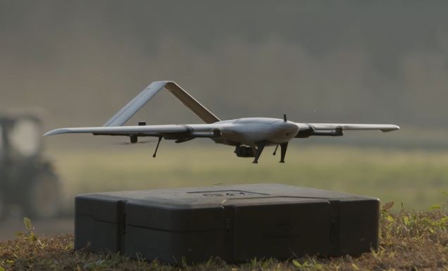
Meet the XAG M2000 Remote Sensing Drone: a smart drone designed for aerial survey tasks. It has max battery life of 90 minutes and can fly for 86 km. It features 4G data transmission. This drone combines with the XPilot app for aerial mapping. The XAG M2000 has cruise speed of 15m/s. It can resist winds up to 8m/s.
More like this ➡️ here
M2000 2022 Remote Sensing Drone Introduction

The XAG M2000 has a footprint of 918mm x 1700mm x 301mm. The above video shows it in action.
*Our articles may contain aff links. As an Amazon Associate we earn from qualifying purchases. Please read our disclaimer on how we fund this site.


