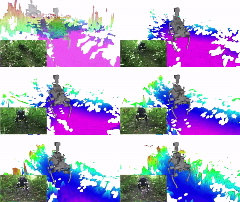
ANYmal is a quadrupedal robot that can operate autonomously in challenging environments. It is capable of climbing and dynamic running. It continuously scans its surroundings to create maps and plan its navigation path. This video shows how ANYmal can be used for mapping in a forest.
More like this ➡️ here
Outdoor Terrain Mapping with ANYmal
According to the developers, 2 laser range sensors are used in the front and the back to complete this task.
*Our articles may contain aff links. As an Amazon Associate we earn from qualifying purchases. Please read our disclaimer on how we fund this site.


